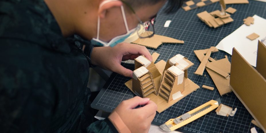


WHAT is it?
The City Planning Square is a simple tool that enables students to envision a task that is abstract and large in scale.
WHY teach it?
This tool is a visual aid for students to discuss in groups the rationale for allocating land to different types of use.
HOW to do it?
Before the class
In preparing the scenario for the class to plan, suggested elements to consider and include are:
- The area to be planned
- The characteristics of the designed area
- Whether these characteristics could be best illustrated by introducing persona (fictional or real people that are typical of the residents or stakeholders of the community)
▸ Introduction (10mins)
Explain the goal of the session and the several steps that the students will go through.
Explain the meaning of the differently coloured paper.
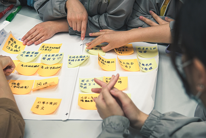
▸ Assigning personas (30mins)
Assign different personas to different groups.
Ask the students to list the needs of the community according to these personas.
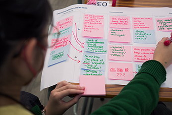
▸ Reviewing (40mins)
Conduct a preliminary review of the work of each group, pointing out places that they have not given sufficient consideration. Ask them to make necessary changes to their work for the final versions.
▸ Presentation and debriefing (30mins)
Using the planning square papers to make a simple illustration, show the real planning case of the designated area and a similar foreign case.
Teaching Tips
City planning is just the natural setting of this tool, but you can be creative! The tool can be adopted for other topics, provided they involve a zero-sum relationship that you would like your students to plan a solution for.